|
在QML地图中可以显示位置,那么如果有路径的点需要动态的显示其运动轨迹,该如何实现呢?
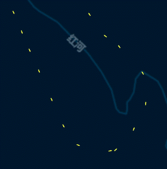
运动点迹可以使用MapItemView加载,使用箭头表示运动的指向,相邻两个位置处的矢量偏移角度可使用Map.azimuthTo()函数计算得到。但是加载的点迹是动态的,因此需要再给箭头它加上动态的效果,动态效果的实现我采用的是间隔显示法,即每个动画周期内根据自定义点间隔显示点,同时隐藏上一周期显示的点。效果如图:
1、重构控件MapItemView:
import QtQuick 2.11
import QtQml 2.11
import QtLocation 5.11
import QtPositioning 5.11
import QtGraphicalEffects 1.0
MapItemView{
property int arrowSize: 12//箭头尺寸
property color arrowColor: "white"//箭头颜色
property int arrowStep: 8//采样间隔,值越小箭头越密集
property var indexArray: []//当前显示的箭头列表,用于动态效果
model:ListModel{
id:arrowModel
}
delegate:Component{
……
}
}
2、实现MapItemView中的delegate,用于绘制路径箭头,代码:
delegate: Component{
id:arrowDelegate
MapQuickItem{
id:arrow
width: arrowSize
height: arrowSize
coordinate: QtPositioning.coordinate(latitude,longitude)
anchorPoint.x:arrowSize*5/3
anchorPoint.y:arrowSize/2
rotation: model.rotation
visible: model.arrowVisible
sourceItem: Image {
id: image
source: "qrc:/Img/MapArrow.png"
sourceSize.width: arrowSize*10/3
sourceSize.height: arrowSize
ColorOverlay {
anchors.fill: image
source: image
color: arrowColor
}
}
}
}
其中model中的对象为:
{
"latitude":list[j].latitude,//纬度
"longitude":list[j].longitude,//经度
"rotation":rotation,//箭头偏移角度
"arrowVisible":v//当前是否显示,用于动画效果
}
3、计算每个点与下一个点矢量的偏移角度:
function setDataList(list){
for(var j=0;j |